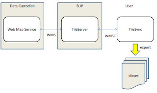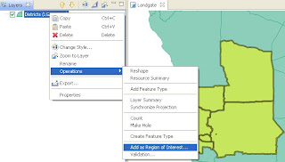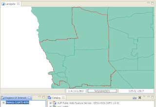
TileSync, based on uDig, developed by LISAsoft in conjunction with Landgate and ExaMin, allows a user to select any feature (Polygon) and add it as a Region Of Interest to a Region Of Interest View. The View allows the User to locally cache a any WMS-C Layer in the Catalog within the bounds of the Region Of Interest. The plugin also allows the local cache to be exported with TAB (MapInfo) header files and a seamless XML file.


Also included is a MapGraphic which outlines the Region of Interest on the Map View when it is selected in the Region of Interest View.

A bundled version is available for download here, and a copy of the plugin can be checked out of the uDig community SVN here.
I have made up some flash videos on usage available online:
1 comment:
Post a Comment