We expect this document to be interesting for those developers who want to include existent spatial operations or develop a new spatial operation for uDig, taking advantage of the spatial operations framework.

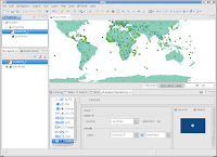
In this tutorial we develop the spatial operation Centroid. The screenshot shows the user interface idea. In the presented example the centroid operation has created a new layer called Centroid_1 using as source layer the countries layer.
To download visit our web site www.axios.es, "Tutorials and Documents".
cheers
2 comments:
Post a Comment